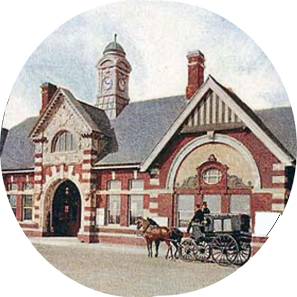
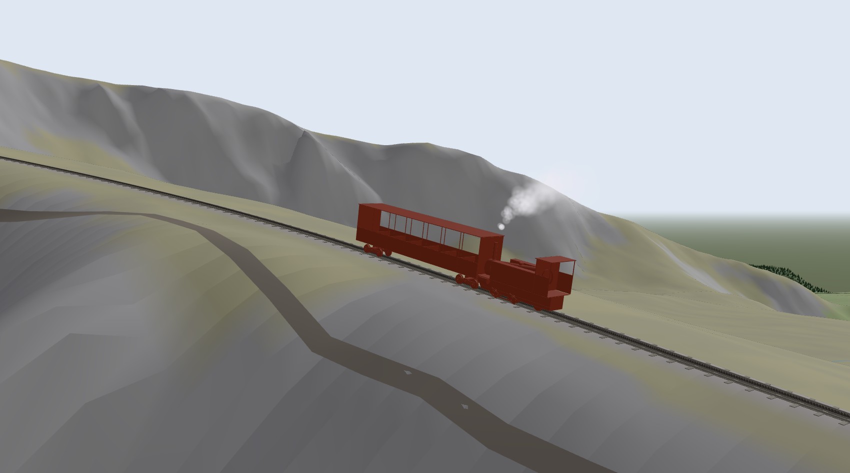
Rack Railways started as a working model of the Snowdon Mountain Railway’s engine and has grown to three rack lines. There is the SLM engine and carriage of 1896 on Snowdon’s Abt rack, the T 426.0 and its Balm coach on the Tanvald line in the Czech Republic, and the 1889 steam railcar on Pilatus, the steepest rack railway in the world. Each now runs on its real line, built from OpenStreetMap and the national survey’s terrain, so you can drive it from the bottom station to the top.
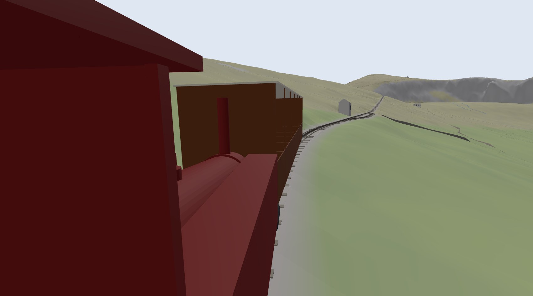
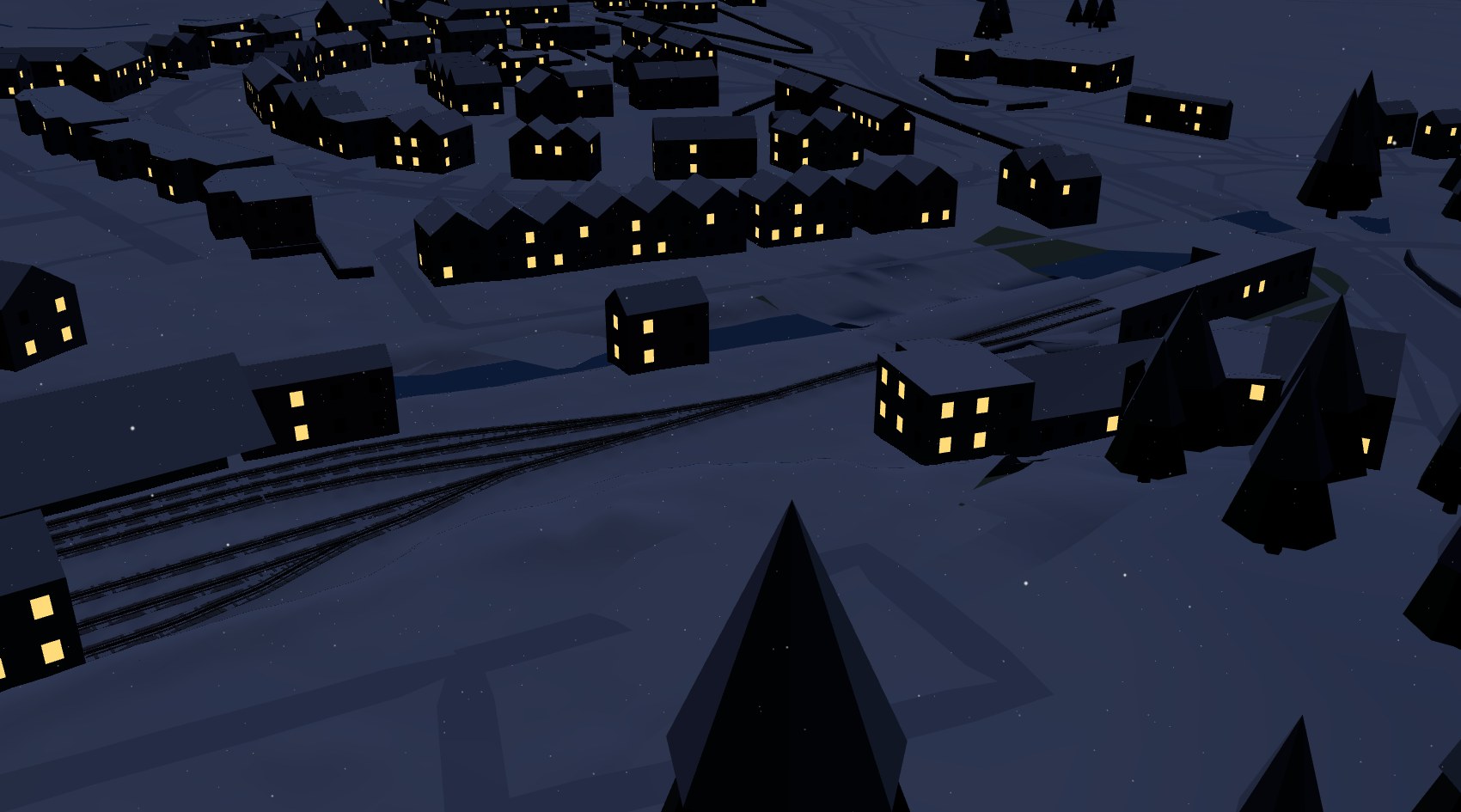
Press ▲ Up, or the up arrow key, and the train climbs; ▼ Down brings it back. Drag to look round, or choose Cab ride to ride on the footplate, where you can drag to look about you and use the mouse wheel to zoom. Go to takes you to any station, and Fast ×10 shortens the trip. The Time slider runs from dawn to night, and Winter and Snowing bring the snow. It builds the whole line when it opens, so it is happiest on a computer.
Llanberis to the summit
The line follows OpenStreetMap to within a couple of metres. Its heights come from the Welsh Government’s 1 m LiDAR survey of the mountain, and the rail is fitted to the ground with the line’s own rules from 1896: no curve tighter than 264 ft and no grade steeper than 1 in 5½. It comes out at 7.52 km along the slope against the published 4 miles 1188 yards, and climbs 960 m from Llanberis to the summit.
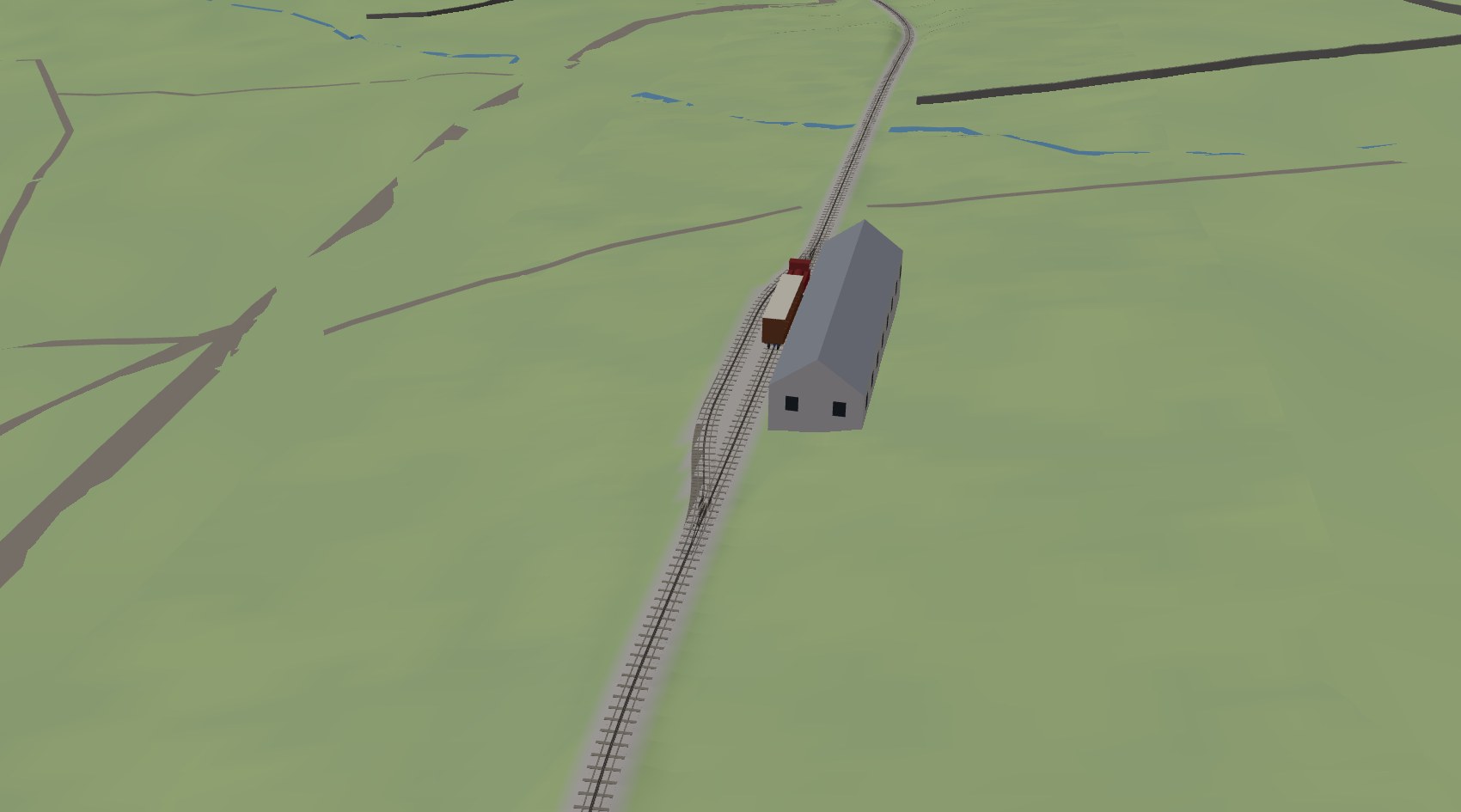
There are three passing loops on the way up, at Hebron, Halfway and Clogwyn, each with the Abt points of the 1896 drawings, as the rest of the app builds them. You set the points with the Lower and Upper buttons as you reach each loop, and the train takes whichever road they are set for. Like the real thing, it will not run through points set against it. Llanberis and the summit each have a second platform road too.
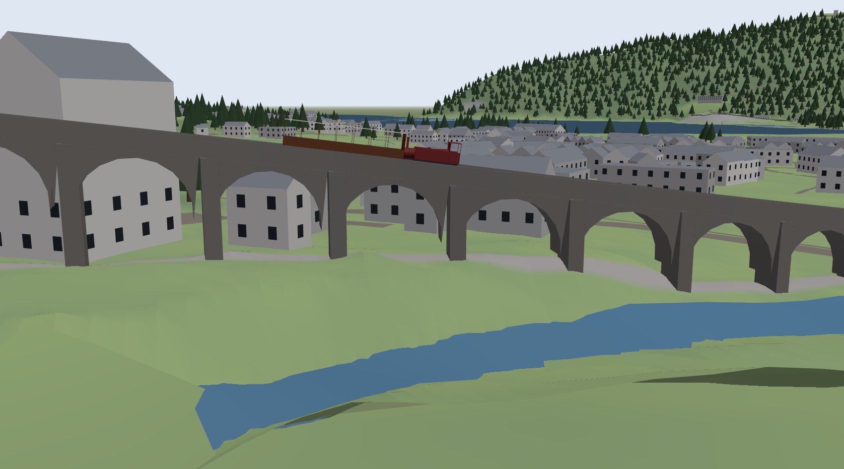
Around the line are the two viaducts on their 14 and 4 arches, the stone walls, the lakes at Llanberis, and the buildings and woods from OpenStreetMap. The station buildings and the shed at Llanberis stand over their tracks as they do on the ground.
Pilatus and Tanvald
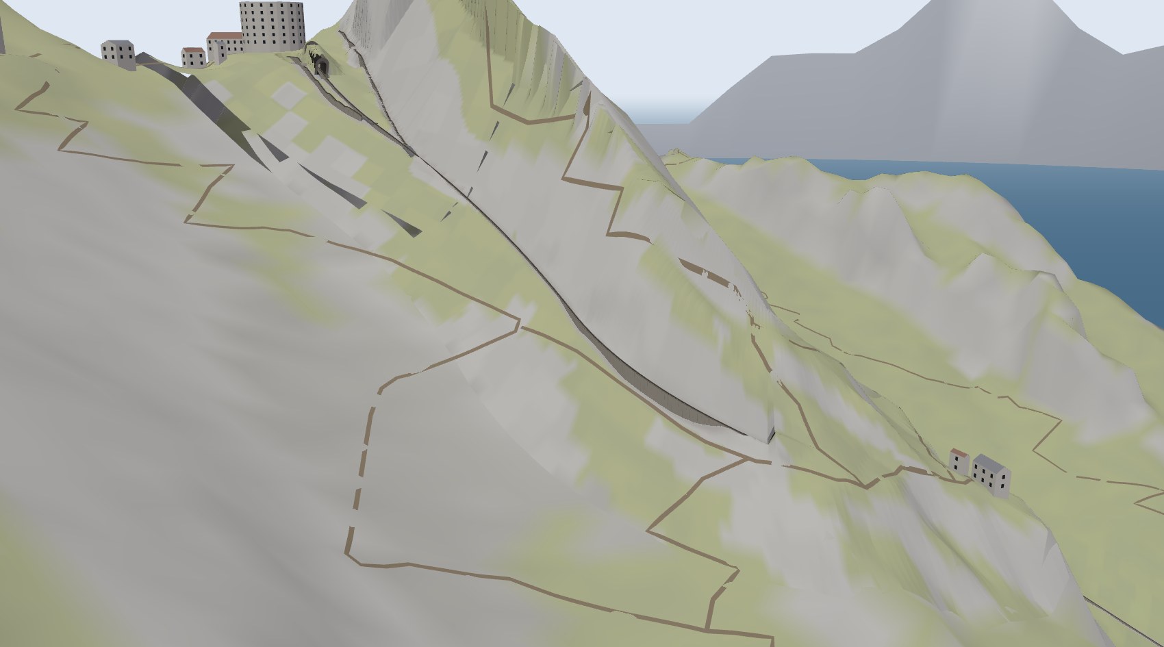
Choose a different scene at the top to take the other two lines. Pilatus climbs 1600 m from Alpnachstad on the Lake of Lucerne to Pilatus Kulm at up to 48 %, on its masonry wall, with heights from swisstopo. Its Locher rack has teeth on both sides, so no ordinary points can cross it. The trains pass at Ämsigen on two transfer tables, and the stations have Gleiswender, track sections that turn over to change road.
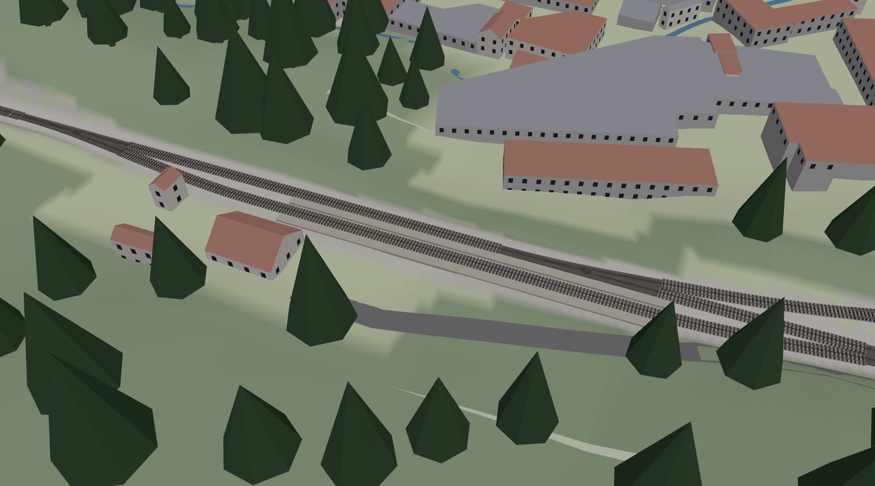
The Tanvald–Kořenov line, with its heights from the Czech survey ČÚZK, has Dolní Polubný in either of its two forms. One is with its rack turnouts, as it was until 1992 and is again since the 2025 rebuild; the other is without the rack, as it was in between.
A working model
Every engine, carriage and length of track in the scenes is the one the app designs to be printed and built as a working model, from the original drawings: the parts list beside the view shows each part and how it is printed. This web version shows the parts but does not make the print files.
If you drive one of the lines and something looks wrong, a loop in the wrong place or a building where there is none, I would like to hear about it through the contact form.
Map data © OpenStreetMap contributors (ODbL). Heights: Welsh Government LiDAR (Open Government Licence v3.0), © swisstopo, © ČÚZK.
Leave a Reply